gvSIG desktopgvSIG desktop
 AMTECH Protect
 ediTariff
 LUXONIX LFX-1310
 Facebook Devil
 Snipping Tool
 GNU Privacy Guard
 MagicSoft Playout
 gvSIG desktop (gvsig-desktop.exe) free download, latest version ✅2.5.0.2930, gvSIG desktop is a powerful software solution used by specialists to capture...
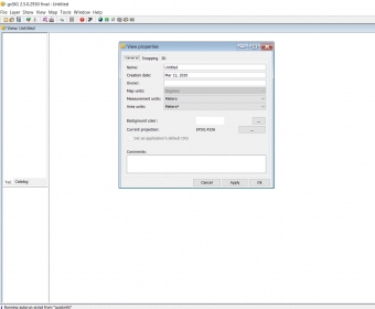
gvSIG Desktop is a robust and free software solution designed for professionals who need to capture, store, analyze, and deploy geographic data. Whether you're working on complex management tasks or planning projects, this open-source tool offers a comprehensive suite of features to meet your needs. The intuitive user interface, consisting of a content area, menu tabs, and a toolbar for quick access to commands, makes it easy to navigate, even for beginners. While customization options for the interface are limited, gvSIG Desktop excels in functionality and versatility.
One of the standout features of gvSIG Desktop is its wide array of embedded tools. With built-in Jaspersoft integration, users can seamlessly generate reports directly from the software. The topology framework enhances the cartographic data you work with, while the coordinate capture tool allows for easy data transfer to other applications. Additionally, quick access to snapping and drawing tools ensures smooth creation of geometric figures and custom designs. Despite its free nature, gvSIG Desktop provides an impressive toolkit for solving complex geographic and planning challenges.
Overall, gvSIG Desktop is a dependable choice for geographic data processing, providing valuable resources for professionals in various industries. Although it lacks digital image processing capabilities and has some limitations with table layout customization, it remains an excellent solution for those looking to handle geographic information efficiently and effectively without a costly investment.