 RockWorksRockWorks
 Inventory Manager
 TestTrack
 Professor Teaches Photoshop CS
 MeshMixer
 Tax Forms Helper 2013
 AMCap
AMCap QuickPlay
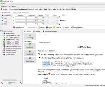
 RockWorks (RockMain.exe). RockWorks is a comprehensive software program that was developed to assist users in performing contouring...
Create detailed 2D and 3D maps for mining and construction sites, generate excavation logs, build cross sections, and produce complete geological models with volume reports and soil diagrams. This geological mapping software for mining also supports optional sample-analysis imports for streamlined workflows.
RockWorks is designed to simplify contouring and advanced 2D/3D surface mapping, enabling deep surface and subsurface analysis across petroleum, geotechnical, and mining industries. Its toolset supports precise 3D terrain modeling and professional geotechnical analysis software workflows for complex projects.
The interface is powerful and feature-rich, offering numerous advanced options that require experience and technical understanding. With full control over mapping parameters, you can assign G values with tolerances, generate solid models, and create top and bottom grid surfaces to define new GeoBodies.
Multi-threading accelerates large-model calculations by maximizing CPU core usage. Additional data utilities support SQL queries, project-table exports, and datasheet row management, making it a robust choice for high-end geological visualization and subsurface modeling.